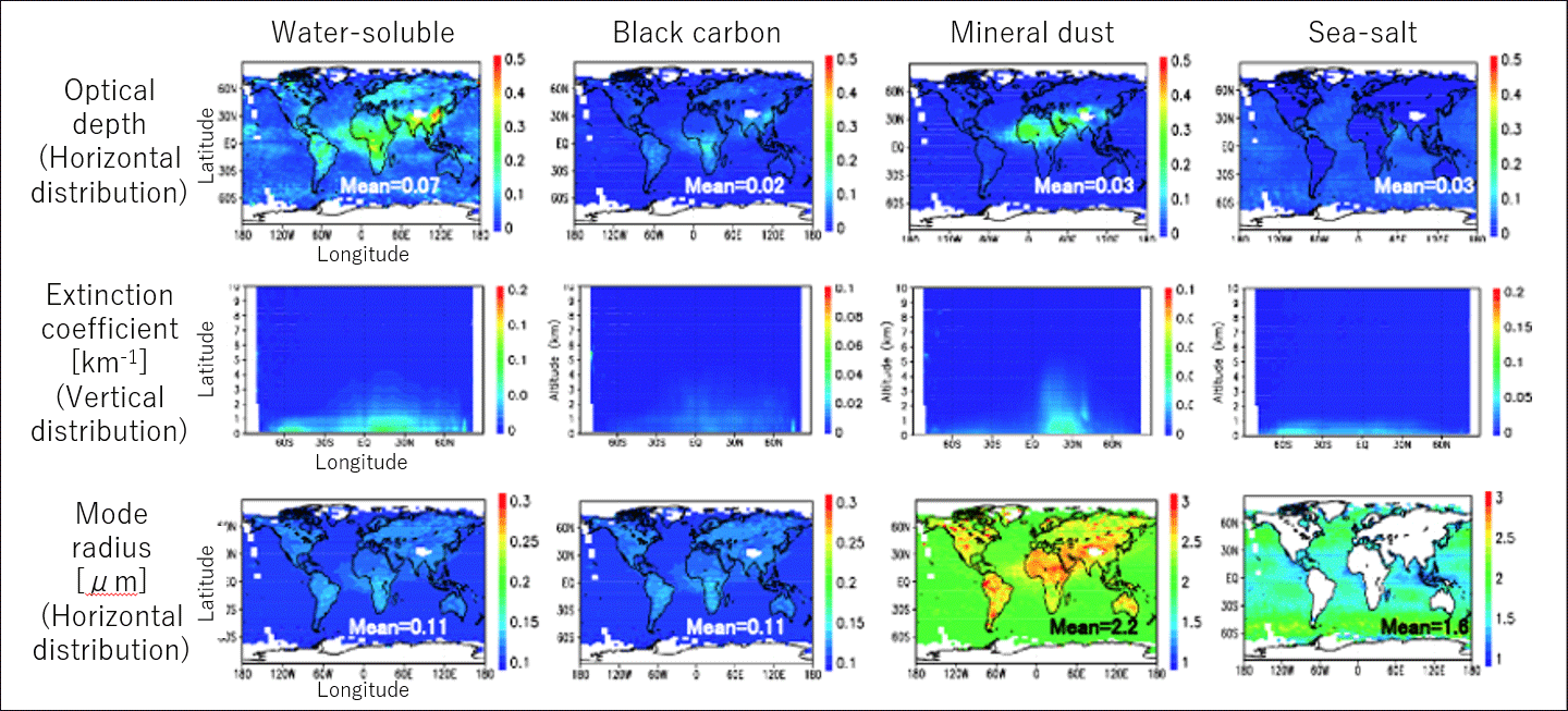
We are developing algorithms and analyzing data using satellite-borne active sensors (lidars) and passive sensors (imagers) to grasp the spatiotemporal variation of aerosols and clouds globally and regionally. We are not only conducting analytical research using existing sensors such as the polar orbit satellite-borne sensors CALIOP and MODIS (figure) and the geostationary satellite Himawari-mounted imager AHI, but are developing algorithms for future earth observation satellites such as the Japan-Europe joint earth observation satellite EarthCARE and the vegetation observation project MOLI using International Space Station (ISS). In addition, we are proceeding with the construction of a global data set that aggregates these analysis data, and conducting interannual variation analysis and assimilation research using the data sets in cooperation with collaborators.
Research Projects
Global aerosol/cloud analysis using satellite observation data


